Waterloo Atlas Co. · Ontario, Canada
Create your
custom map.
Your neighbourhood. A favourite summer town. The places you carry with you, brought to life in an illustrated map.
Custom prints. Free community downloads.
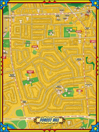
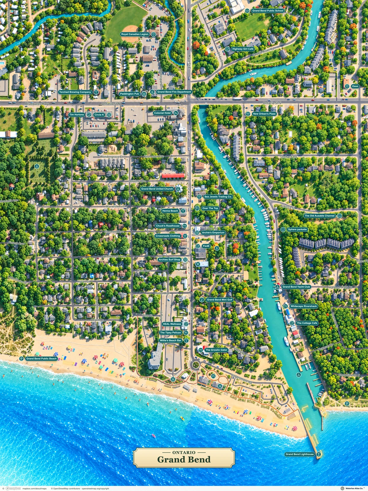
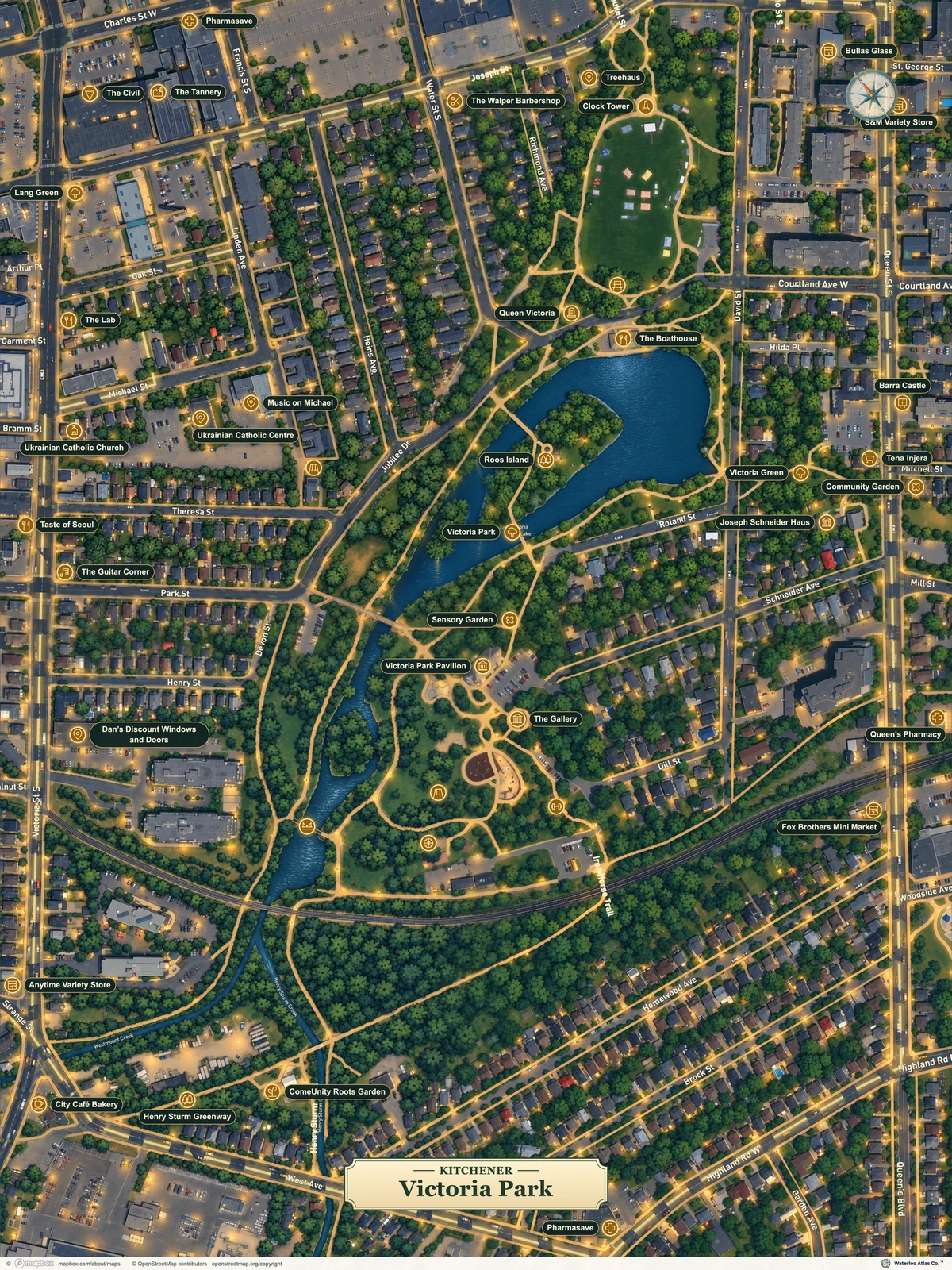
Waterloo Atlas Co. · Ontario, Canada
Your neighbourhood. A favourite summer town. The places you carry with you, brought to life in an illustrated map.
Custom prints. Free community downloads.
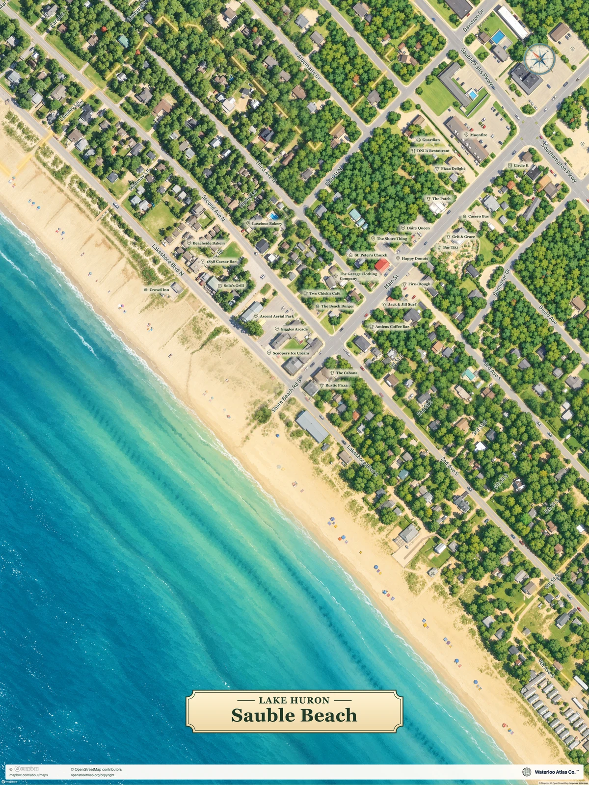
A few places made personal.
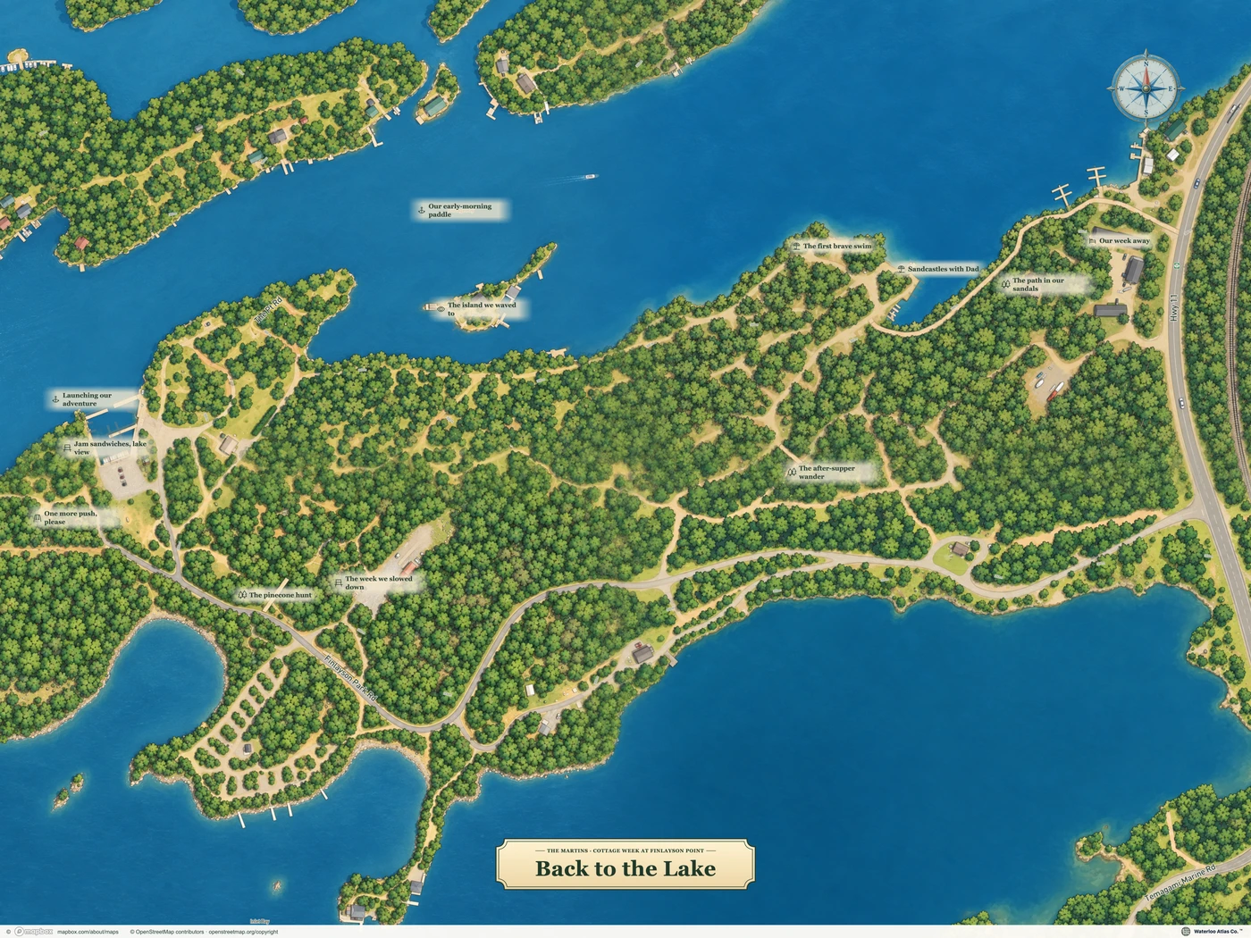
Temagami, Ontario
24 × 18 in · Landscape
View poster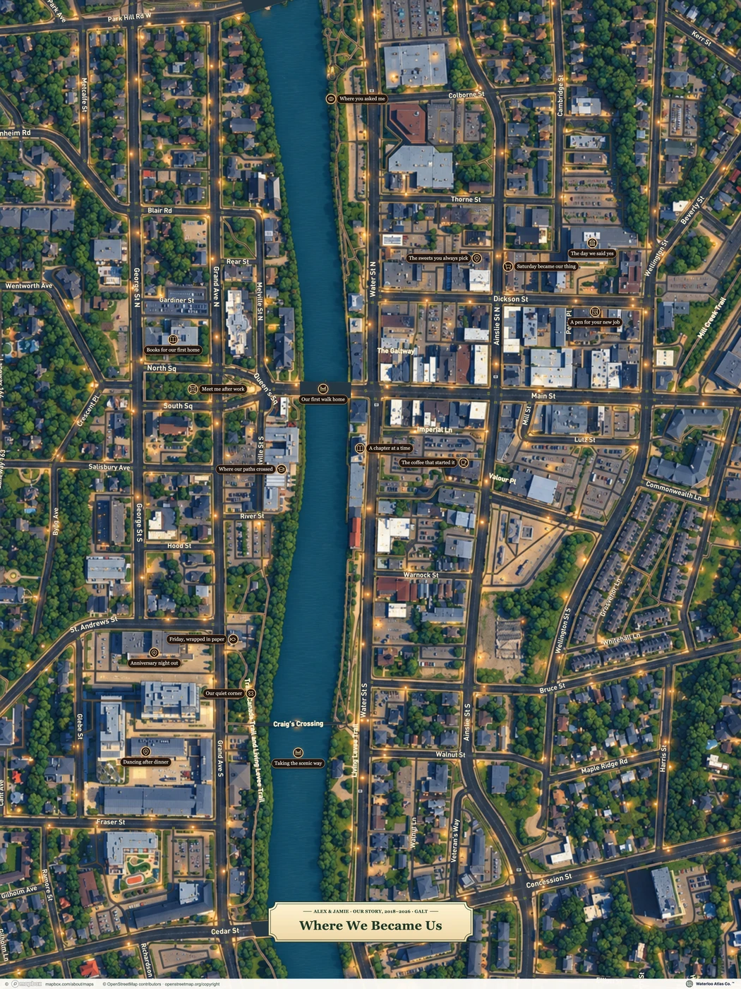
Galt, Cambridge
18 × 24 in · Portrait · Example
View poster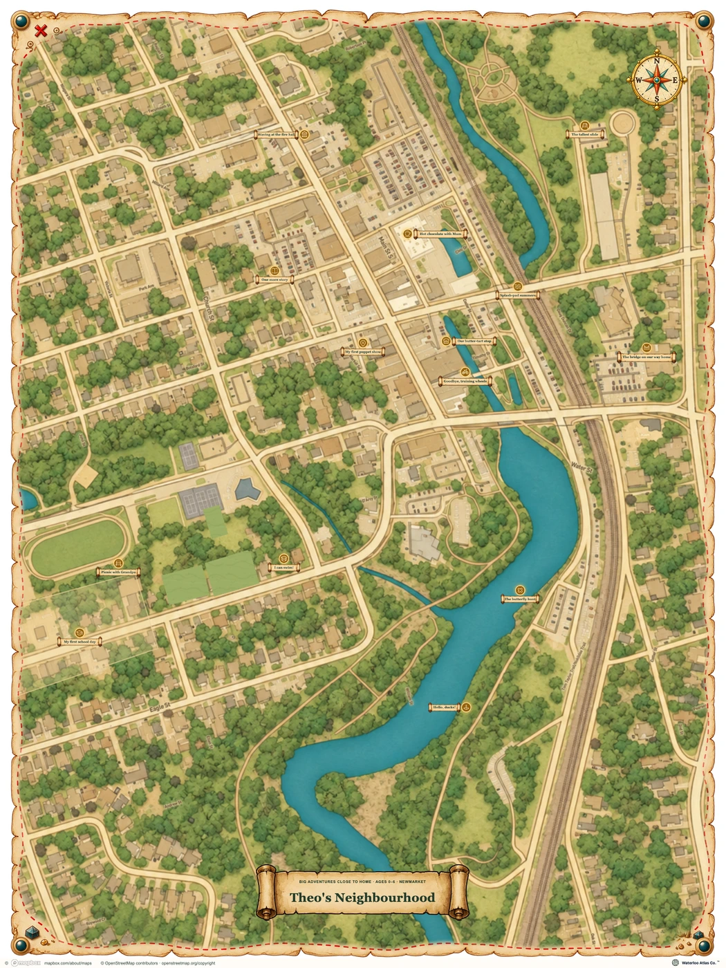
Newmarket, Ontario
18 × 24 in · Portrait · Example
View poster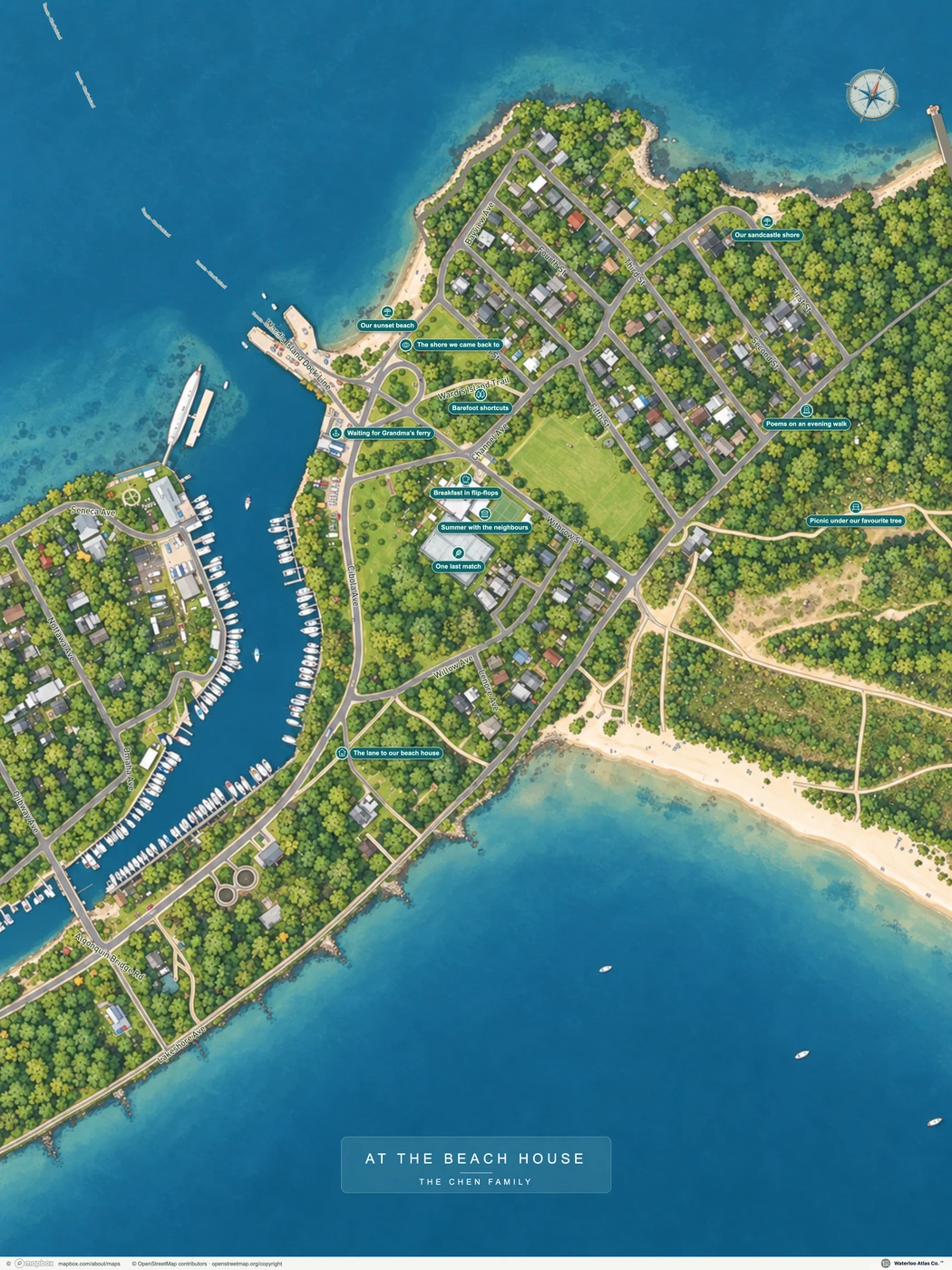
Toronto Island, Ontario
18 × 24 in · Portrait
View poster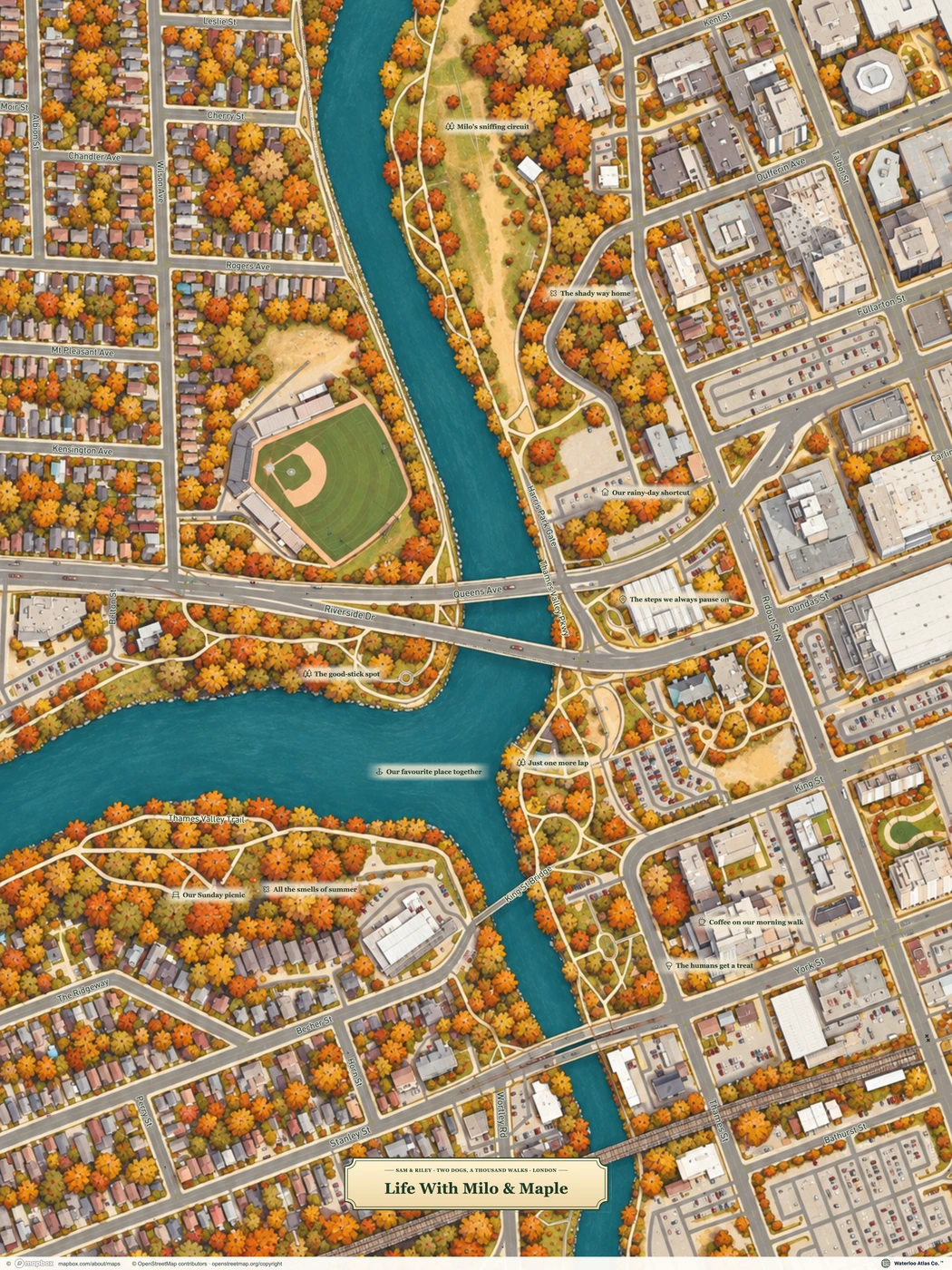
London, Ontario
18 × 24 in · Portrait · Example
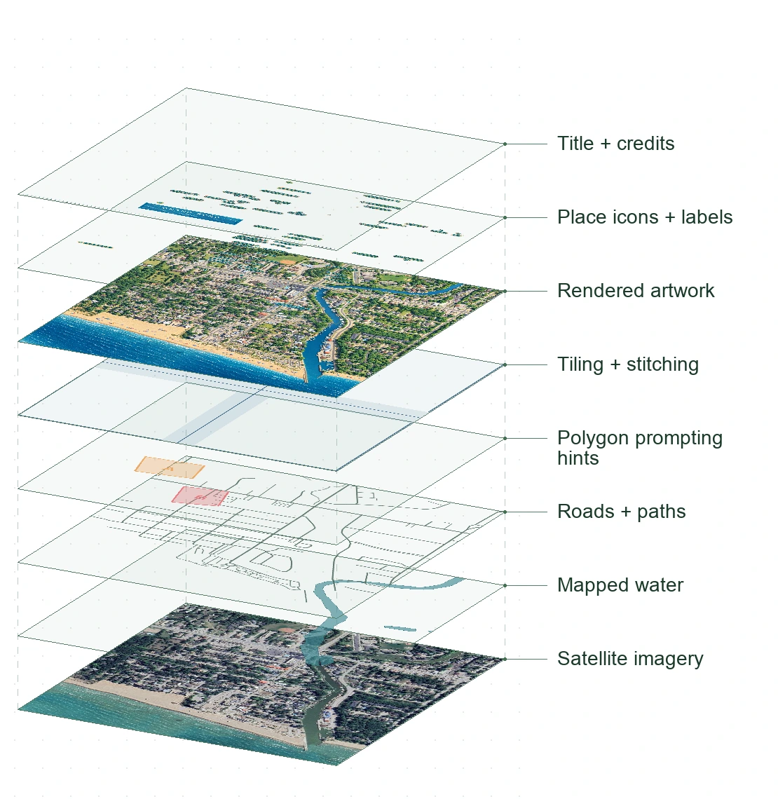
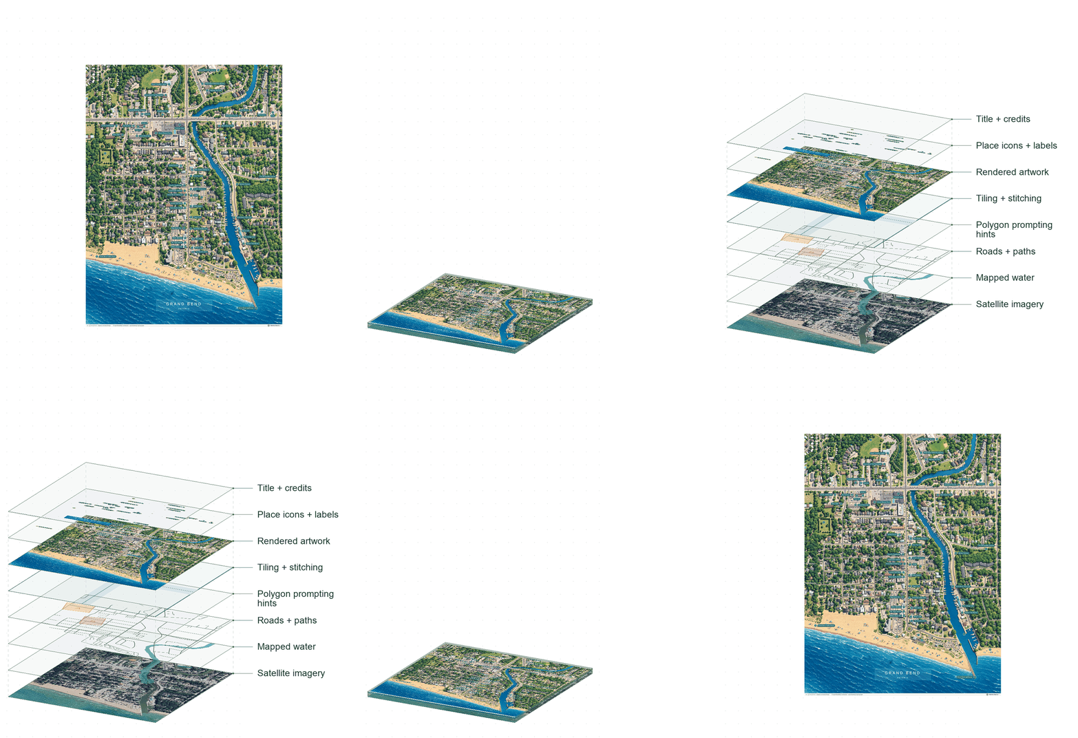
View posterWe’re a map studio in Waterloo Region, with a family interest in maps and a project that began as a web map maker in 2020. Today, we turn familiar streets, parks and meaningful places into illustrated maps.
A little more about us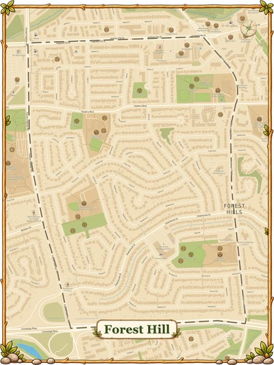
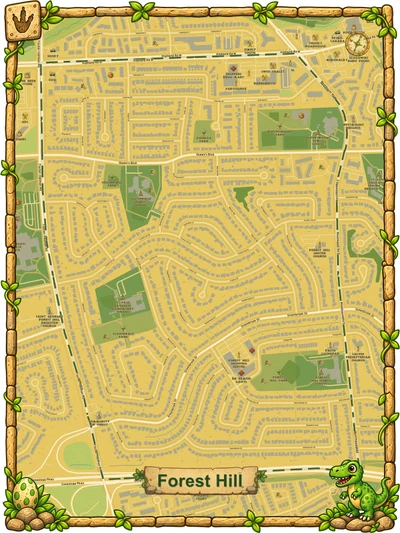
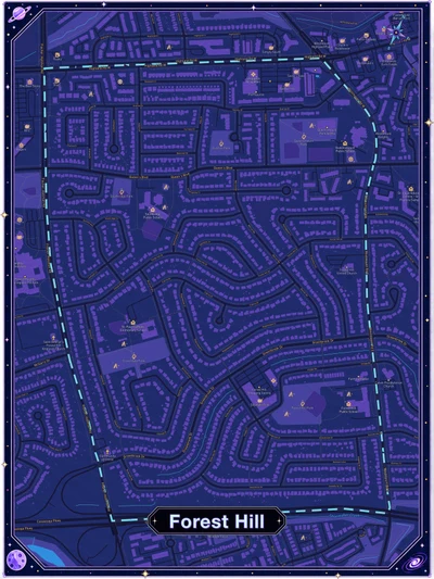
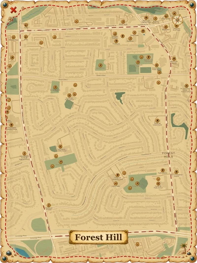
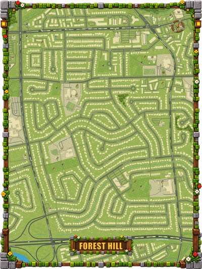
Made around your place
Choose the place, frame the view and make it yours with a title, a theme and the spots that mean something to you.
Start your custom mapShown: Back to the Lake, Temagami, Ontario. Your map starts with your location.
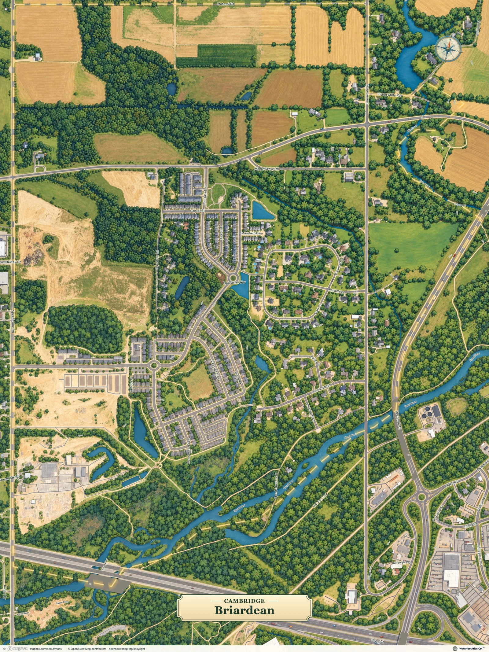
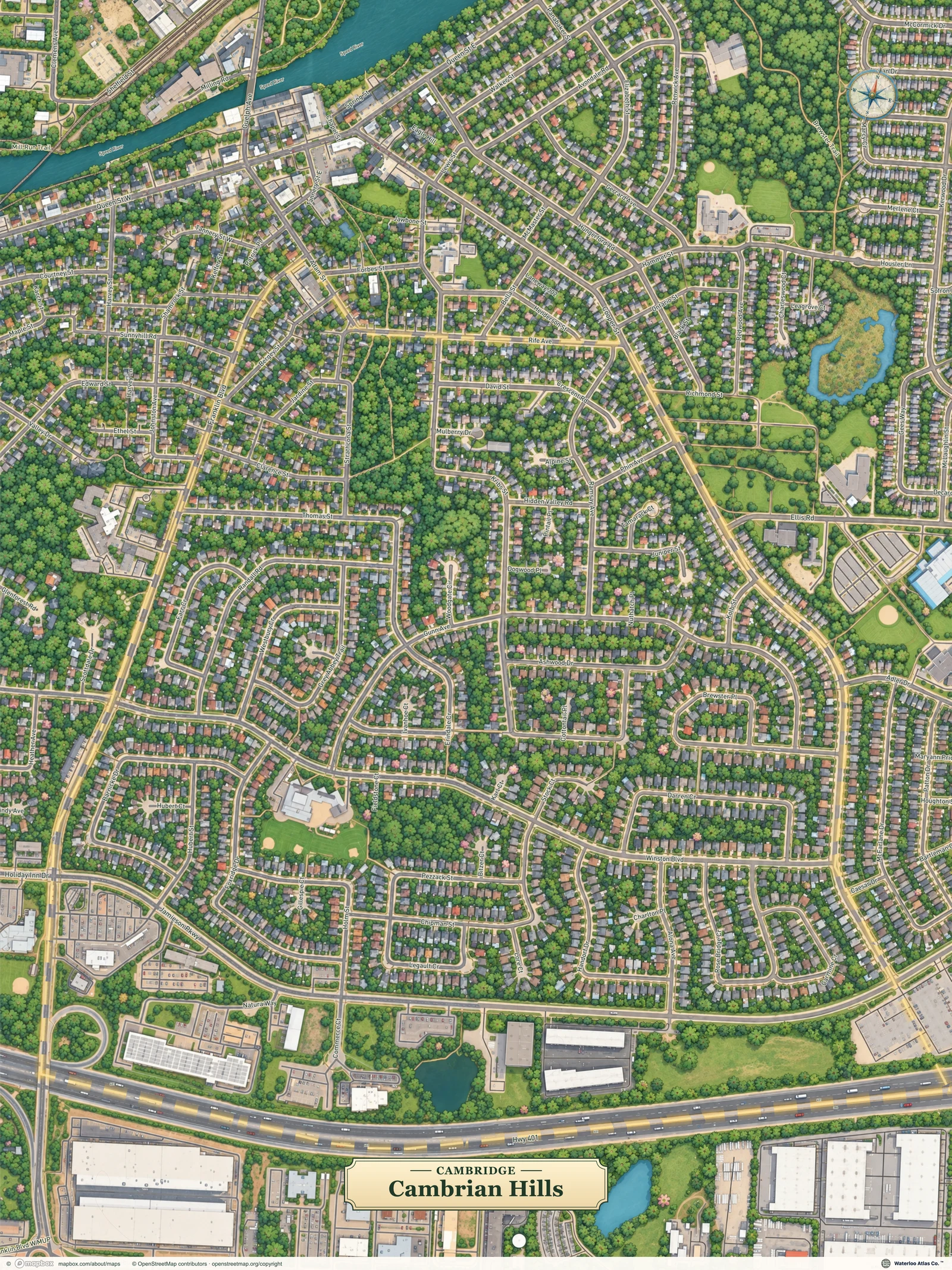
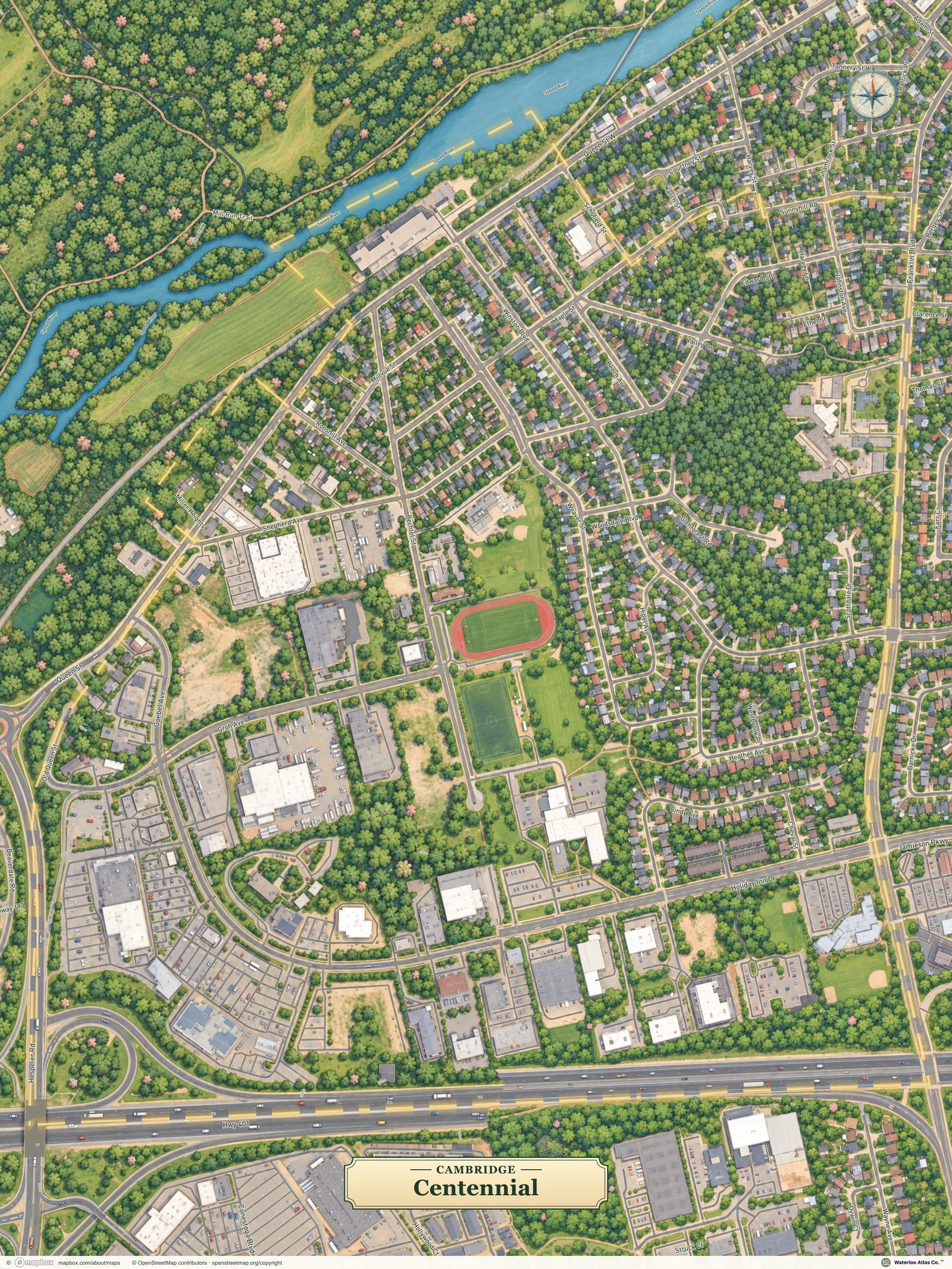
Already mapped. Ready to explore.
Free digital maps. Prints for your wall.
Good places belong to everyone
As software becomes more accessible, we believe more of what we make with it should be free to share. Maps of our communities are a good place to start.
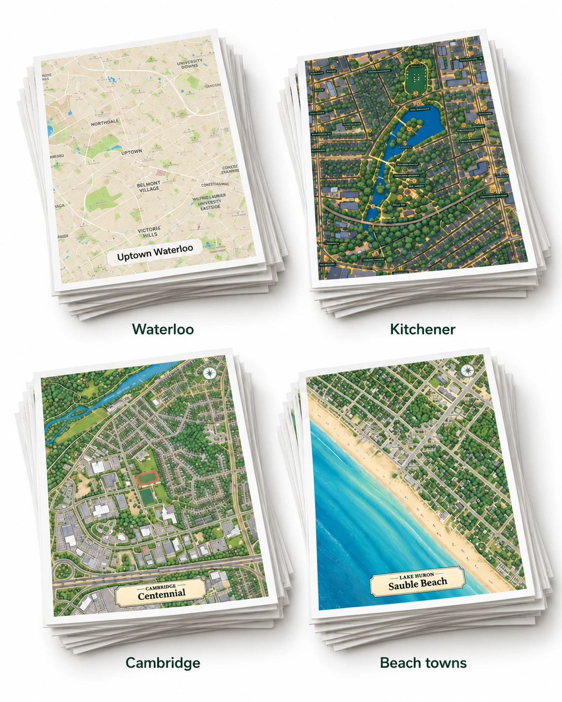
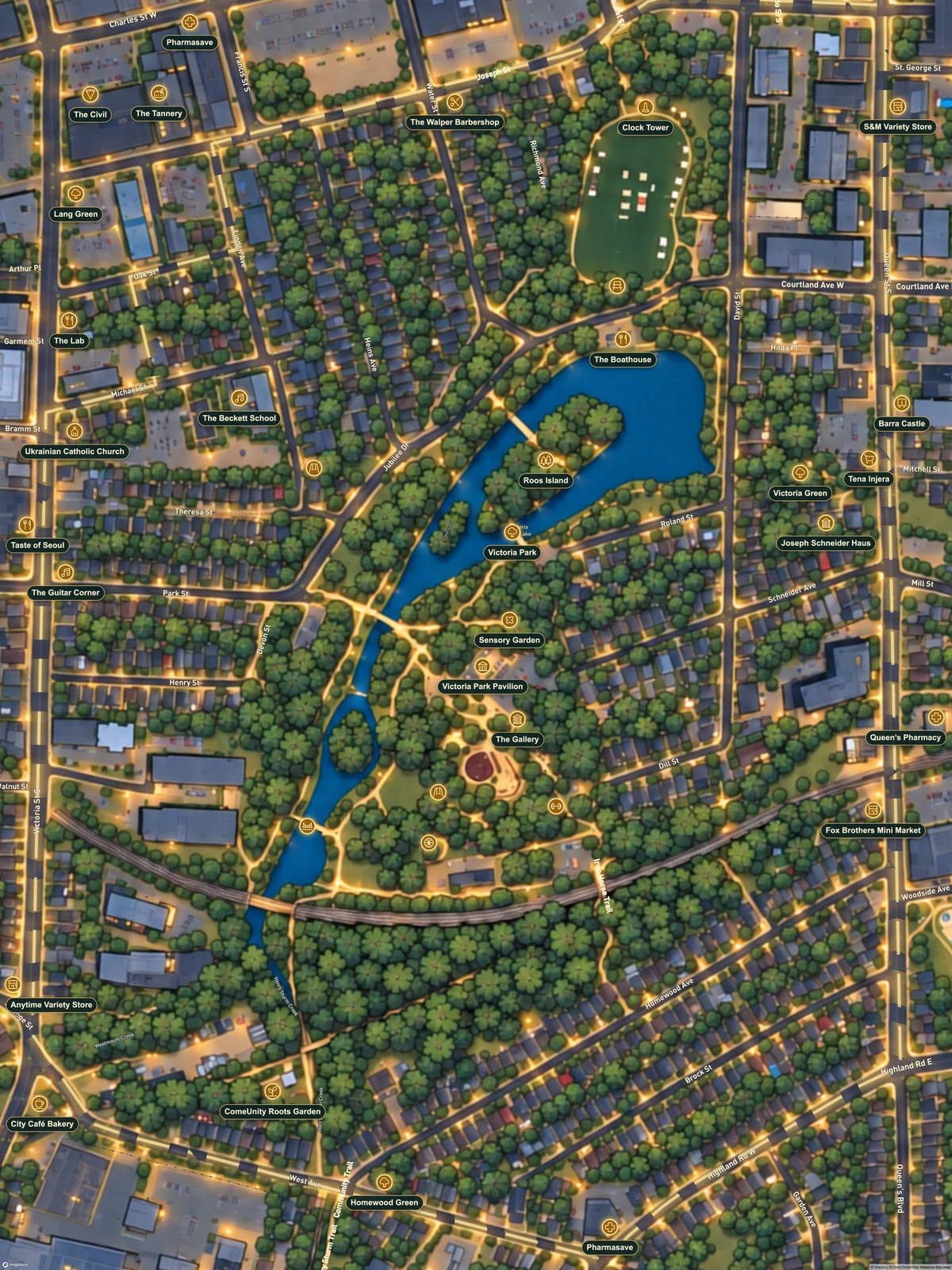
We’re committed to making free digital neighbourhood maps for Waterloo Region. Our plan is to work through the listed neighbourhoods over the next year, then keep growing from there.
Favourite the places you’d like us to map next. Share a local spot we should include, or help us improve a map we’ve already made. Digital community maps are free for personal use; printed copies and custom maps are paid offerings.
Help put your neighbourhood on the mapMap data and imagery: © Mapbox · © OpenStreetMap · Improve this map · Building reference: Microsoft